Wireless Coverage
Wireless Coverage at UCCS
The wireless network at UCCS consists of over 1,600 access points distributed across campus. Inside nearly every building on campus you should find our wireless networks being broadcast. We also have 75 dedicated outdoor access points. For more detailed information, click the various accordions below.
Wireless coverage is deployed in over 95% of UCCS buildings. Coverage is found in most academic, administrative, auxiliary, and residential building. Of the more than 70 official buildings on campus, the only areas we currently do not have coverage in are the Gateway Garage, the Campus Greenhouse, the Heller Art Studio, and the Facilities Garage.
More than 1,400 access points provide indoor coverage throughout campus. Building size, layout, materials, and type of space all dictate where and how many access points the wireless team places. Some buildings have 1 access point covering the entire floorplan. Others, such as the San Juan residence hall which has 126 wireless access points, may have more.
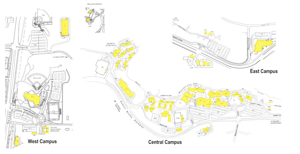
Click here for high-resolution map.

75 dedicated outdoor access points provide wireless coverage outside throughout the UCCS campus. Outdoor coverage is focused along the pedestrian spine between the Rec Center and Cragmor Hall. Green spaces we cover include West Lawn, Cragmor Green, and Telluride Quad. Outdoor coverage can also be found around the Village at Alpine Valley residence buildings, around the Ent Center for Fine Arts, on the field atop the Alpine Garage, the bus stop areas in front of the UC and Centennial, and also on the 3ed floor outdoor patio of the Academic Office Building. Visit our Outdoor Wireless Phase 1 project page for information regarding our recent outdoor expansion.
Static Map
Note that the indicated coverage areas below are approximate, and many factors can affect your received signal strength (such as proximity to an access point, any objects between your device and the access point, and the type, size, quantity, and quality of the wireless antennas in your device). Click here to download high-resolution map.
Interactive Map
Pan around the interactive map below to see the location of our outdoor wireless access points which are marked by the icon.